How do planes use smart radar?
by Ailsa Harvey · 05/07/2020
The radio waves that keep you safe in the sky and on land
(Image source: Pixabay)
What’s the weather going to be this afternoon? Tomorrow? Or even next week? Thanks to the weather forecast, we are able to plan ahead when it comes to the weather. Long gone are the days when you could only rely on a glance out of the window in search of a dry day.
Weather forecasts often show predictions for large areas of the country, but smart weather radars make it possible to receive precise climate conditions for the exact location where they are placed. You can even buy weather stations designed for your home that send automatic message notifications when extreme conditions are expected.
Hyperlocal results provide higher accuracy in a weather radar’s feedback. This becomes useful for closely following updates, especially when they could cause danger. Examples of when this technology is required includes on transport that’s affected by weather, as well as in agriculture, to show flood warnings.
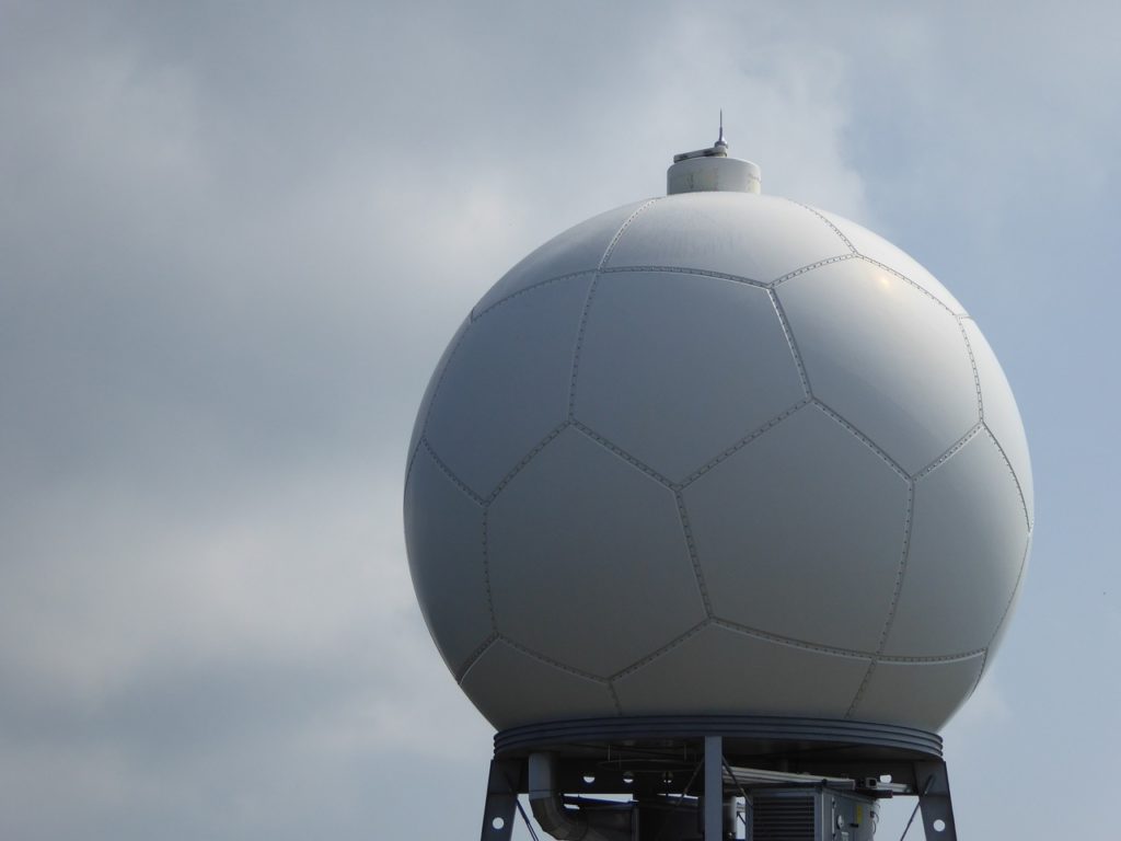
But how is the information collected? Radar stands for radio detection and ranging, which is used by weather stations and aeroplanes to send radio waves out into the sky. The waves bounce off the nearest object – like a cloud – they come into contact with and return to be analysed.
Data from these radars can determine details about precipitation in an area, such as its location, how much precipitation is in the air, its movement and the likelihood of future snow, hail or rainfall. Additionally, the radar system can predict the possible effects of incoming storms. While we often seek weather forecasts for convenience, this information holds the more important purpose of ensuring safety.
(Image source: Pixabay)
Reducing injuries in the sky
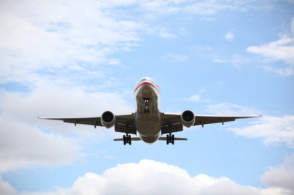
If you’re a frequent flyer, you will be no stranger to the rollercoaster-style drops and involuntary shakes you can suddenly experience mid-flight. As conditions can vary immensely across the sky and over different landscapes, most large planes are equipped with smart weather radar systems. This helps to predict the likelihood of turbulence.
When radio waves return to the radar, they vary in strength, with stronger reflections indicating a higher concentration of water droplets. This outcome is translated into colours on a screen in the cockpit – red showing high density, orange showing medium and green illustrating low density.
Stormy areas often lead to turbulence, so receiving a clear picture of storms that lie ahead makes it easier to determine when it may strike. Warning passengers in advance optimises their safety, and it is helping to lower the number of people injured each year on flights.
For more science and technology articles, pick up the latest copy of How It Works from all good retailers or from our website now. If you have a tablet or smartphone, you can also download the digital version onto your iOS or Android device. To make sure you never miss an issue of How It Works magazine, subscribe today!